As more mining become automated, surveyors are taking to the skies to make more out of machinery.
The rise of drone technology has seen miners, and surveyors in particular, utilise the technology to map out their mines in a faster, safer manner.
Both BHP and Rio Tinto have integrated drones on to their sites.
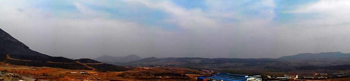
The Goonyella coal mine has used them for around a year to better understand their mine’s progress and monitor safety compliance.
In the past year Rio Tinto has planned and tested the use of drones for environmental and heritage surveys, inspections of equipment such as conveyors, pit wall inspections, gathering aerial imagery, thermal imaging, and geotechnical inspections.
Technology and Innovation Executive Greg Lilleyman said the company saw immense potential for drones to help extend the advantage Rio Tinto holds through the innovative use of technology, which can help to improve the safety and productivity of their operations.
An Australian partnership has been formed aimed at taking this mapping technology to the next level.
West Australian drone manufacturer ScientificAerospace has partnered with South Australian mapping company Dronemetrex to develop a new drone specially designed to aid surveyors.
Dubbed the TopoDrone-4Scight combines a number of technologies ScientificAerospace chairman Richard Pace said will make the drone a market leader for the survey industry.
The vertical take-off and landing drone uses ducted, which creates a more stable drone housed in 3D printed nylon that is safe to use around people because it has no exposed blades. It can also be used in spark free safety conscious applications, due to its non-conductive airframe and brushless motors.
It uses photogrammetric mapping technology developed by DroneMetrex, enabling accurate mapping without the need for a surveyor to establish data points.
The multi rotor accurate mapping drone is affordable and easy to use without complicated setup, and requires minimal training is easy to transport and can be used safely in urban areas.
Its on-board PPK Direct Georeferencing Solution software developed by Dronemetrex provides mapping with no ground control providing accurate mapping, reduced processing time and quality photogrammetric mapping, comparable to the best in the world.
“By combining our software and mapping expertise to Scientific Aerospace’s drone technology, we’ve created something that is unique, enabling accurate photogrammetric mapping to be far easier to access and far more affordable” Pace said.
A manufacturing plant is to be set up in Perth to supply the world with expected sales of $20 million in the first year.